

Starting into a wash from my parking spot, Cane Benchmark seen on the left.
An old fence in the wash, Peak 3711 seen center. I left the wash shortly after and ascended a slope in order to get over to Candy Wash.
My quick inspection of Peak 3711 over there made me think to skip this one for today.
Looking down into Candy Wash, Cane Benchmark seen center. I followed a burro trail down into the drainage.
Within Candy Wash, ascending.
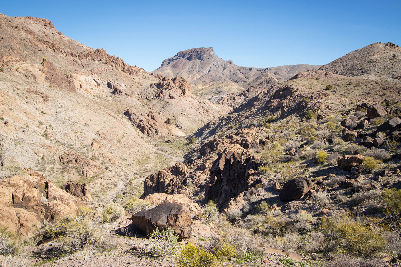
Some cool rock formations within Candy Wash, but it's not anything particularly crazy just yet.
Cane Benchmark seen top left. Here I'm approaching a major junction within Candy Wash, where I kept right.
Keeping right, I entered this narrow watercourse.
Pretty cool walls!
View back the way I came toward the junction.
A Class 3 obstacle.
Above the obstacle, view back.
Continuing up Candy Wash.
More narrows!
Definitely a fun drainage to stumble upon.
More narrows, these only head-high.
View back into water-carved narrows.
View back again as the canyon opens up.
Candy Wash opens up, but it's not done being cool yet.
View back.
Approaching another set of narrows.
What a cool chasm!
Flowing water in this section of narrows, too.
View back toward the chasm.
A hairpin turn in these narrows.
Higher up, more pretty stuff to look at.
View back as the narrows open up again.
Now it was just a hike through Candy Wash, sometimes a little brushy.
View back.
An occasional cute feature within the drainage.
Ascending Candy Wash.
View back.
Another little cascade.
I followed a burro trail out of Candy Wash as it got too brushy, which led left of the drainage on a slope.
Candy Wash turned into quite a deep ordeal, so I was glad I'd left it. Cane Benchmark seen up top.
Back within Candy Wash higher up, Cane Benchmark seen ahead.
I wrapped around to the southeast side and ascended to left left of the saddle seen center, Cane Benchmark seen top left.
A cliff ahead, so I instead continued up the rocky slope on the left.
Volcanic boulder-hopping.
View back down into Candy Wash.
Class 2/2+, mostly due to steepness and loose rock. Above you can see a minor cliff band. I avoided it by wrapping to the right until it faded away, then gained the summit.
View toward the more standard route east used to reach Cane Benchmark.
Cane Benchmark summit, view northwest.
Close-up northwest.
Candy Wash seen below on the left, Spirit Mountain seen top right.
Hire me or show me some love!
Hire/refer me as a web developer or send me a few bucks if you find my site useful. I’m not sponsored, so all fees are out-of-pocket and my time preparing trip reports is unpaid. I really appreciate it!