I provide a free route map, but you can also download a hike/drive GPX to assist you and to help support my site. Before sharing my GPX tracks with others, please remember my site is a free resource and I'm charging nominal fees to offset my substantial costs.
GPX track added to your cart.
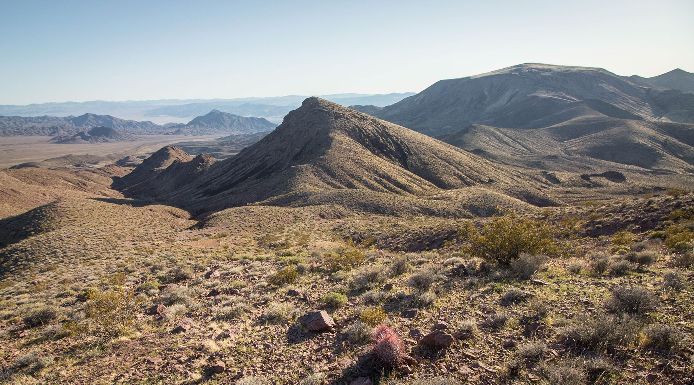
Mar 30, 2020 — Epaulet Peak looked really pretty from Salsberry Peak a few days ago, so I planned to get back as soon as I could. This route gets up to Epaulet Peak from the south, traverses over to Calico Peaks, and follows the desert back to make a loop. I generally used Adam Walker's route, and I think it's likely the best way to explore this interesting and colorful area.
Starting from an old mining cabin at the end of a decent dirt road (good quality, but maybe low clearance might have some difficulties), I followed a wash to the right of the Epaulet Peak foothills, heading north into a significant drainage coming down from the summit. This drainage was very colorful, and at times the route was difficult to follow because of the many side drainages. I recommend just constantly looking at a map to ensure you're in the largest drainage of them before going too far up the incorrect one. Eventually I made it to a small saddle, and then the route became a bit more clear. I continued up a steep, bright yellow slope, passing over a small Class 2 rocky outcropping, and then side-hilled to the south ridge of Epaulet Peak. Some Class 2 boulder-hopping and then a wide, grassy, beautiful slope led to the summit. The views into Death Valley were pretty incredible, and the colorful southern hills of Epaulet Peak stood out in the afternoon light.
On a map, it's hard to tell quite how expansive the northeast slope of Epaulet Peak is, but I was looking forward to the sweeping views and mellow descent on alternating grassy and volcanic rock as I headed toward Calico Peak. There were a few small bumps along the ridge, and then a steep slope led up to Peak 4150. This minor sub-peak actually seemed like the easiest way over to Calico Peak, which was a short jaunt to the north from there. From Calico Peak, I dropped down into a drainage separating Peak 4150 and Calico Peak and followed it south. An easily avoidable dryfall blocked direct acess through this drainage, but once past the dryfall, I was able to jog through flat and pleasant desert washes as the sun set and it was pretty fantastic. It was a little hard to tell where my car was since the desert expanse was so overwhelming, so I generally kept to the foothills of Epaulet Peak, crossing over a couple of ditches to make my way back.
Please consider helping me out if you find my site useful. I'm not sponsored, so all site fees are out-of-pocket and my time preparing these trip reports is unpaid. You can also hire me as a web developer. I really appreciate it!


If you find my site helpful, please help me replace my many broken cameras, fund my website fees (hosting, APIs, security), or just support my countless hours of work. I pay for all expenses myself, and all trip reports I post are unpaid and unsponsored, so any support is really appreciated!
If using PayPal, please select their option for "Sending to a friend" so they don't take out fees, thank you.
My site is free to use, but consider sending me a few bucks to help keep it running. Thanks in advance!